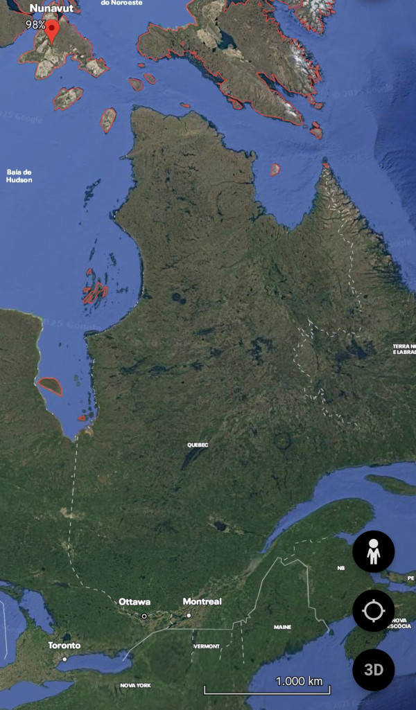
Why does the territory of Nunavut control these islands that are closer to Ontario, Quebec and new foundland and labrador?
Synes godt om
Kommentar
Del
Why does the territory of Nunavut control these islands that are closer to Ontario, Quebec and new foundland and labrador?


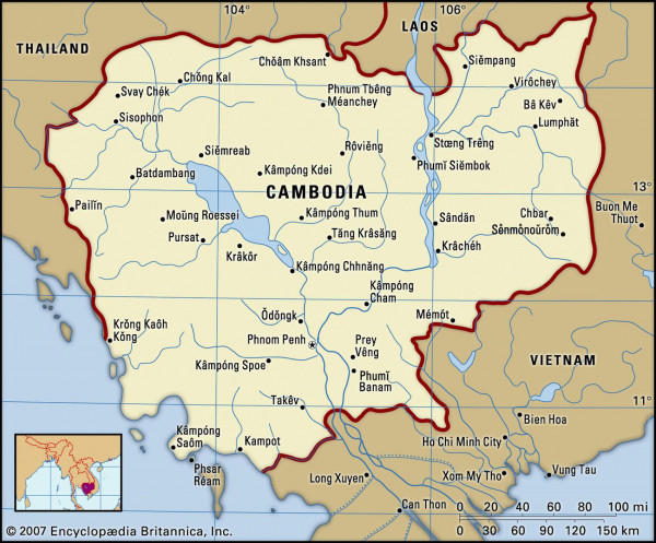
Has any nation changed its name more times in a short span of time, or even a century, than Cambodia? Its territory was called French Indochina, State of Cambodia, Khmer Republic, Democratic Kampuchea, People's Republic of Kampuchea, Kingdom of Cambodia, all in just the 2nd half of the 20th Century.
I always hear that Colombia is the only country in South America with access to both oceans that bathe the continent, but they forget that Chile, with its strange border with Argentina, has "access" to the Atlantic Ocean, is that true?

Why does this section of the Ecuador–Peru border have this small notch with a perfectly straight line?
I’m looking at a portion of the Ecuador–Peru border that includes a small notch. It seems to mostly follow a river, which makes sense, but then there’s this straight-line segment that cuts across, creating a kind of odd angle.
Is there a historical or geographical reason for this? A treaty detail? A territorial dispute resolution? I’d love to understand what led to this shape.
