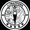
Can someone please explain why Brussels borders are like this?
Like
Comment
Share
Can someone please explain why Brussels borders are like this?


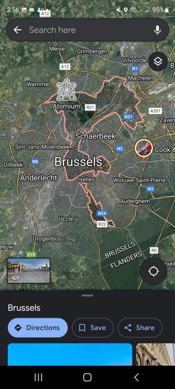
Wtf brits? Tea? 💀
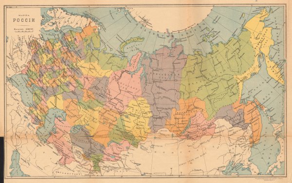
Russian Empire in 1914 (+)
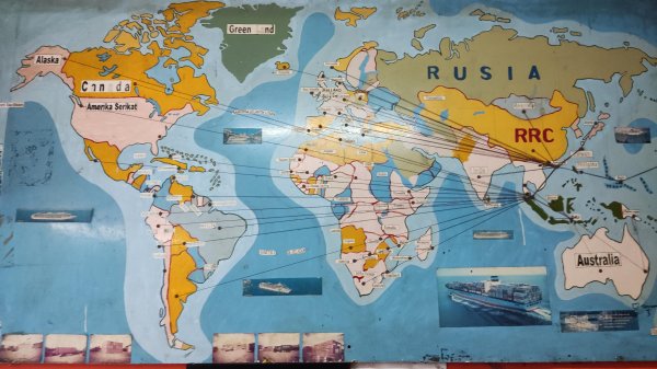
Found this map on the wall of a post office in Bali
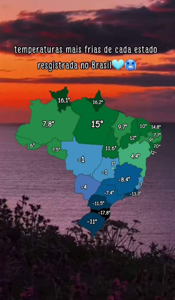
Coldest temp in each brazilian state
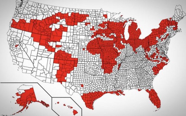
Map of the world drawn using US counties
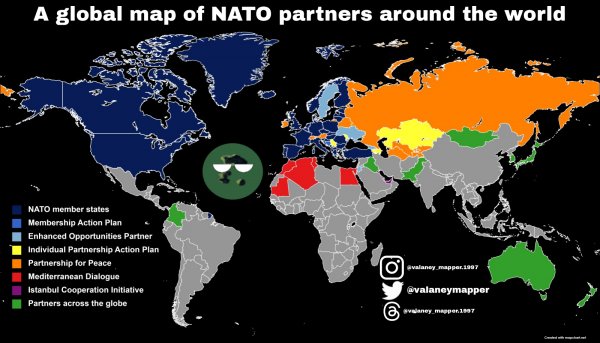
A global map of NATO partners around the worldï¸
What about it?
â„¹ï¸ Source: Wikipedia, the free encyclopedia
âš ï¸ This post was not made to offend anyone, it was not made to benefit. I hope you enjoy my posts âš
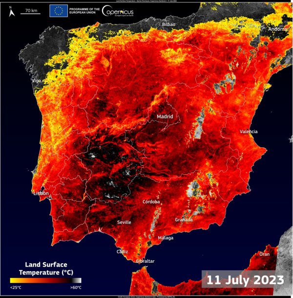
Spain is gonna change its name to Mordor! Surface temperature map
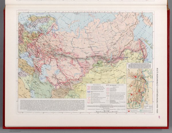
The Red Army in Soviet Russia 1918-1920 - Czechoslovakian military atlas (1965) (53rd of this series)
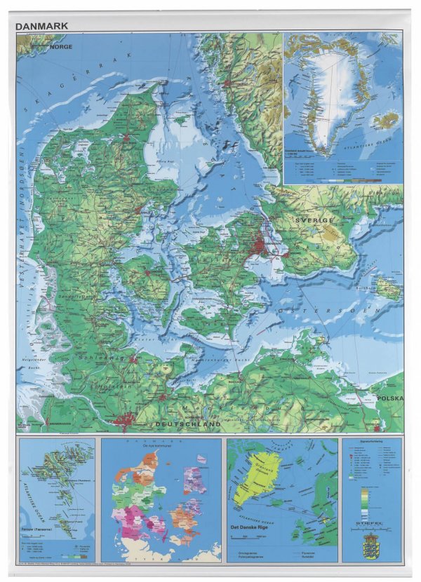
Map of Denmark from 2007 including Greenland and Faroe Islands
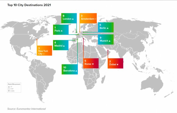
the top 10 most visited cities in the world