
Since you didn't like my last map of the West. Here's one which is more "factually correct".

Like
Comment
Share
Since you didn't like my last map of the West. Here's one which is more "factually correct".


can you guys help me date my globe??

How come is not mod banning queston mark ¿ Is them not smart ⸮

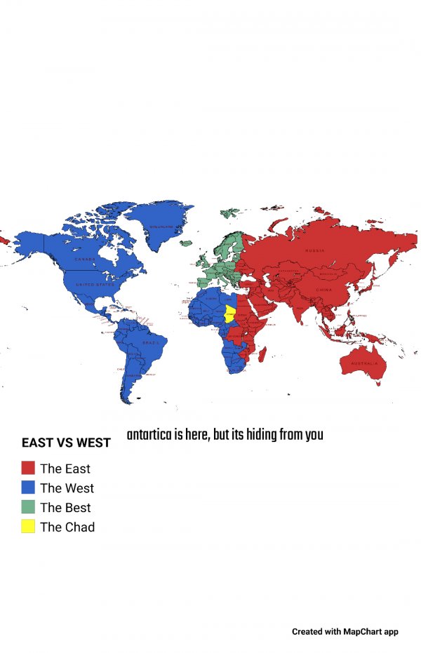
My submission for the East VS West map.
Guess where I am from based on the countries I have been to

Countries mistakenly caught in the crossfire so far since 2.24.22

Found this old Risk game at a Retreat I went to in Colorado
This risk looks like it’s from the early 2000’s

US States divided into North/South. Most accurate version.

The Great States of North Ekota and Kouth Sakota

50% of people live to the right of the red line

Guess what era this population density map represents
