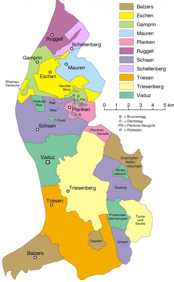
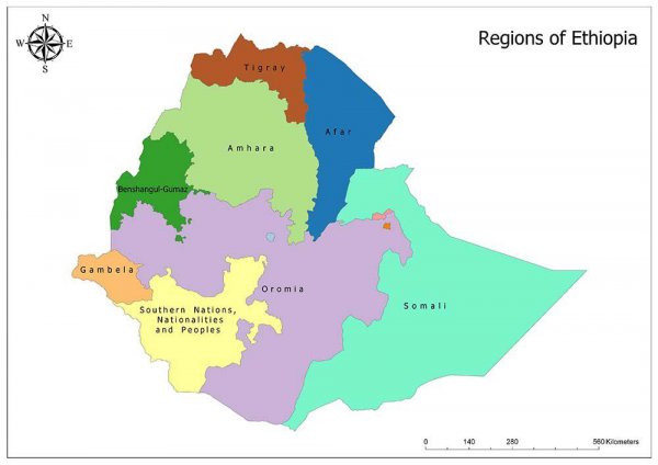
A Map of Ethiopias ethnic based federal states.

What about it?

A map of Ethiopias ethnic federal states. Each region has its own military, parliament and president. They are basically mini nations inside of Ethiopia. Lately the central government have been in & out of war with the regions, it wouldn’t be a surprise if some of these regions declared independence. The central government is launching a war against the Amhara right now and they just came out of war against Tigray. The Nobel peace prize president of Ethiopia has not delivered the promise of a free and prosperous country.

image
Read also:

Spread of the Irish Language in 1871

image

Centered at 23.7267° N, 90.4213° E and 20 km distance on both side. Don't know if it covers the entire Dhaka or not.

image

Gamers of the world map

image

World map in Hawaiian

image

Map of the Gulf Coast seen at my local public library

image

USA's 50 States Rebordered: Redrawn to reflect economic, cultural, geographical, and population factors!

image

The eleven municipalities of Lietchenstein.

image

Map of Korean Peninsula in a chinese produced map

image

Map Of Europe Labeled With Famous Americans Of European Descent

image

Status of Post-Brexit U.K. Free Trade Agreements in 2020

image