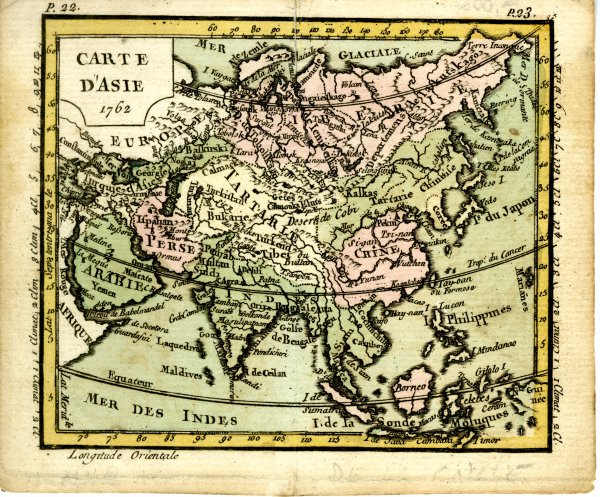
1762 Map of Asia | High-res scan of original 4x4inch, from my collection.
Like
Comment
Share
1762 Map of Asia | High-res scan of original 4x4inch, from my collection.


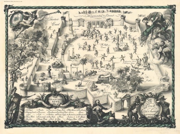
1933 Pictorial Map of the London Stock Exchange
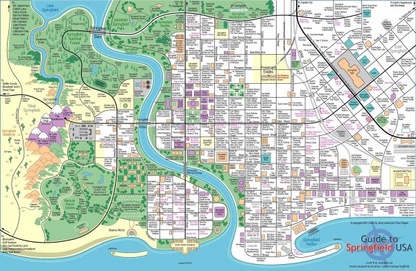
Map of Springfield. Apparently it is a hell of a town. The schoolyard's up and the shopping mall's down.
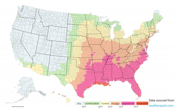
Max Average Dew Point (50% of time threshold)
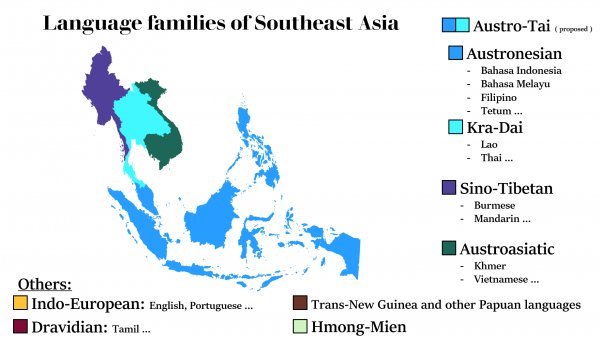
The language family of each country's official language in Southeast Asia
OECD & BRICS + (Comparisons)

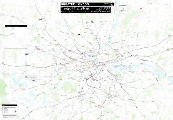
Detailed London rail map
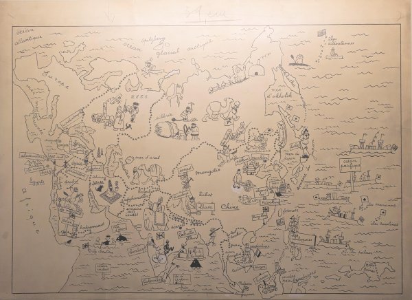
Map by Herge (Tintin)
Found this map in the Herge Museum which is drawn by Herge the author of Tintin. Gives a good look about the stereotypes that existed back in the days.
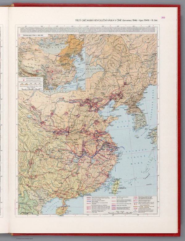
Part II: The Third Civil Revolutionary War in China (July 1946 - October 1949) - Czechoslovakian military atlas (1965) (100th in this series)
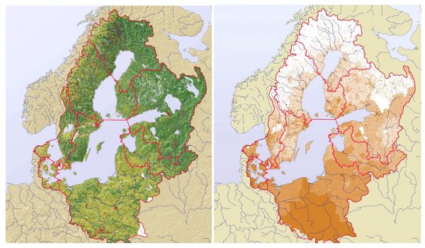
The Baltic Sea drainage basin. Land cover and population density
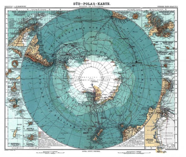
Antarctica, German map, 1910s