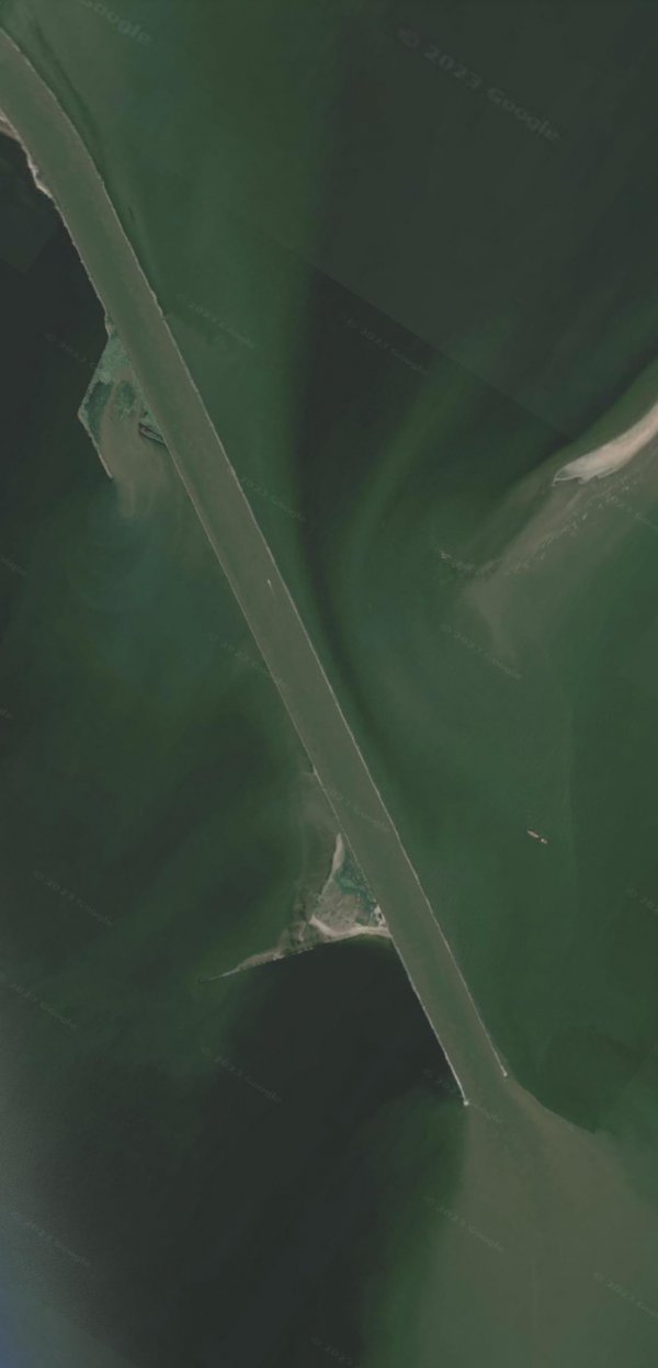
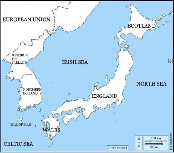
Which geographical features are present in this photo?
45°08'53"N 29°45'27"E
Like
Comment
Share
Which geographical features are present in this photo?
45°08'53"N 29°45'27"E


Can someone please explain to the people of r/AusMemes that Australia is not an island? They don't believe me.

This is still the most accurate "cultural regions of the United States" map

Most spoken languages in Austria-Hungary (191 🇦🇹ðŸ‡ðŸ‡º
By @geomapas.gr (Instagram)

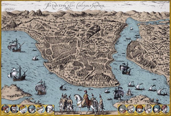
Map of Constantinople, 1570-90s (modern Istanbul, Turkey)
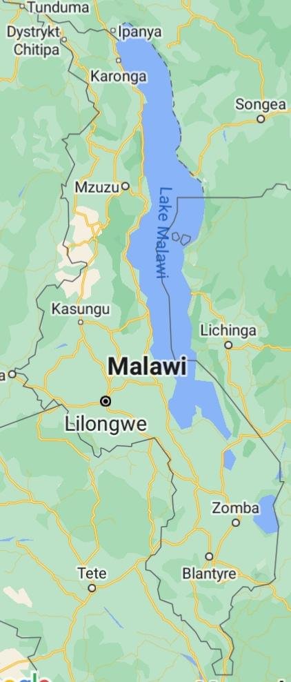
Did you know that Malawi exists? This is the most secret state on earth. Even countries in the Pacific or Caribbean are more easily seen on the map.
East Anglia
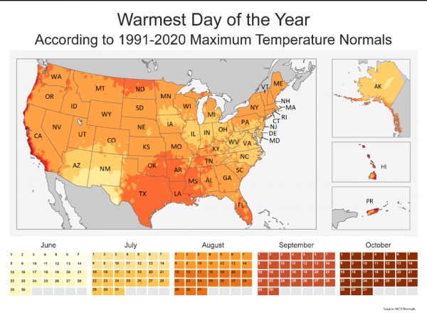
I know conditions vary, but I was really surprised to see a 4 month difference between the earliest hottest days and the coldest. Why such an extreme range?
I saw this earlier and I had a different question
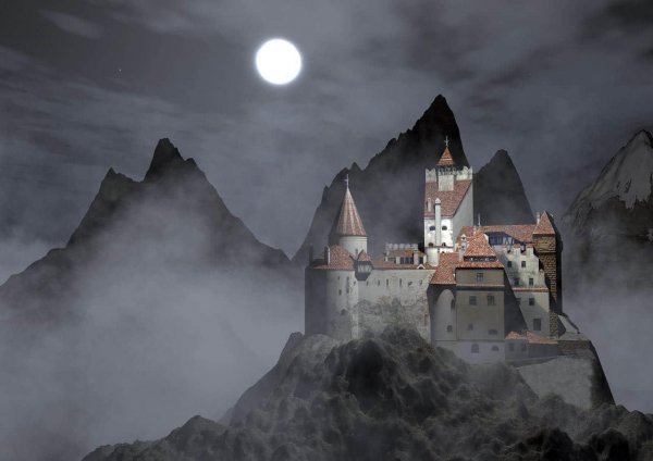
What supposedly cursed or haunted geographical locations are there, and what's their story?
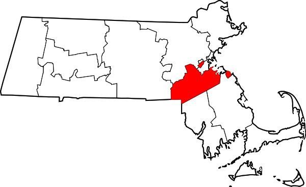
Saw the post about the Arkansan county, and I present my home county of Norfolk County, Massachusetts
It has not one but TWO exclaves.
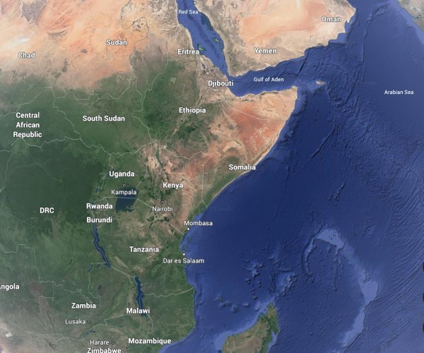
Why do Kenya, Ethiopia and Somalia have a equatorial desert on a east coast?