What goes down in the Gulf of Thailand?

Like
Comment
Share

What goes down in the Gulf of Thailand?


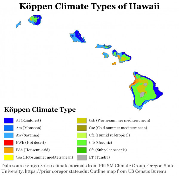
Does Hawaii County have the most Koppen zones of any U.S. County?
I heard Hawaii County (of the island of Hawaii *proper*) has the most Koppen climate zones of any U.S. County.
Af & Am (tropical rainforest & monsoon) on the south & east sides, Cwa (humid subtropical monsoon) in the lowlands, Csa & Csb (hot/warm summer Mediterranean) on the highlands, Bwh & Bsh (hot arid & hot semi-arid) on the rain shadow side, varying by altitude, Cfb & Cfc (oceanic / sub-polar oceanic) on the mountains, and ET (tundra) at the mountain tops.
Can you think of any other county that has such a wide range of climate zones?
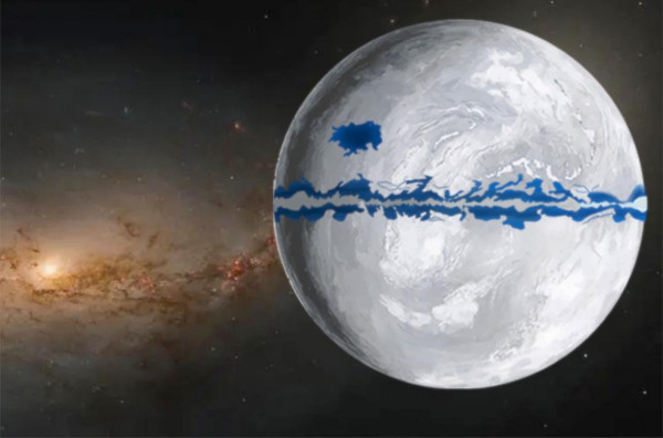
What would the wind patterns look like on a snowball Earth with a small inhabitable band along the equator?
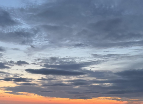
11pm, sunset just less than an hour ago - is the orange sky to the north the sun reflecting off super high clouds?
Just trying to establish where this orange is actually being reflected to.
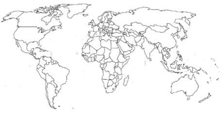
What would you do with a blank world map?
I’m a huge country and flag nerd, I recently printed out a world map to do something creative with, but I’m stuck for ideas.