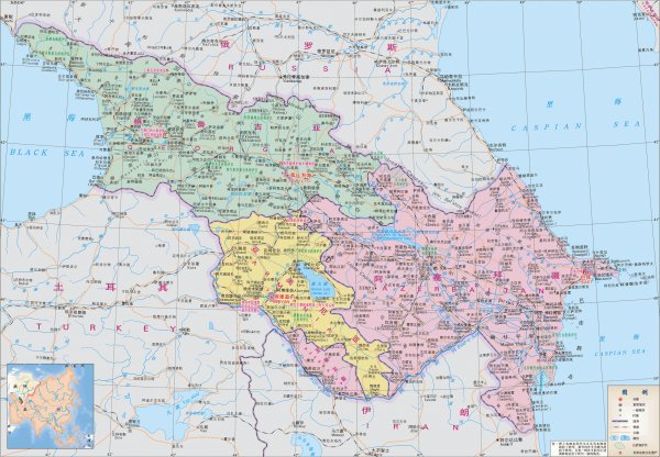
Transcaucasus map(Chinese version)
Like
Comment
Share
Transcaucasus map(Chinese version)


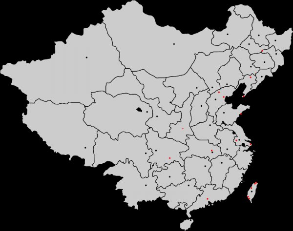
Map of taiwanese subdivision
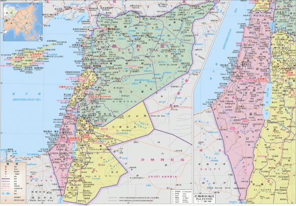
Map of some Middle Eastern countries (Chinese version)
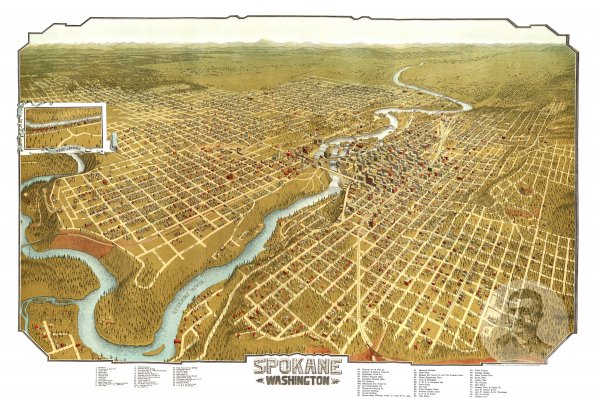
Spokane, Washington 1905 Map
The official logo of the arab parliament with some ambitious claims

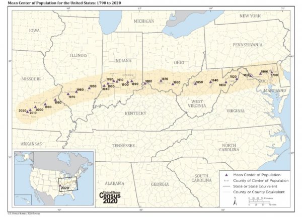
Mean center of the US population from 1790-2020 (US Census)
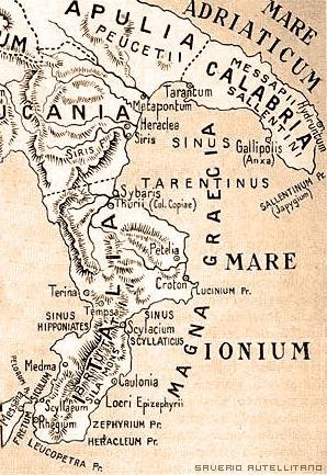
Italy according to the ancient Greeks, corresponding to the current Calabria
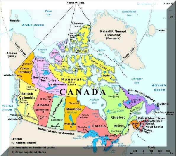
A Map Of Every Canadian Province and Territory In Canada (Not Shown - Canadian Territories and Provinces Outside Canada)
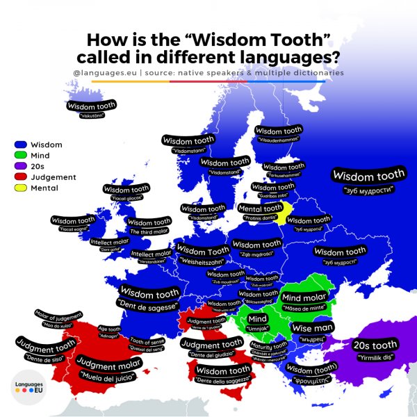
Wisdom tooth and literal translations in different languages, Europe
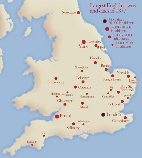
Largest towns and cities of England in 1377.
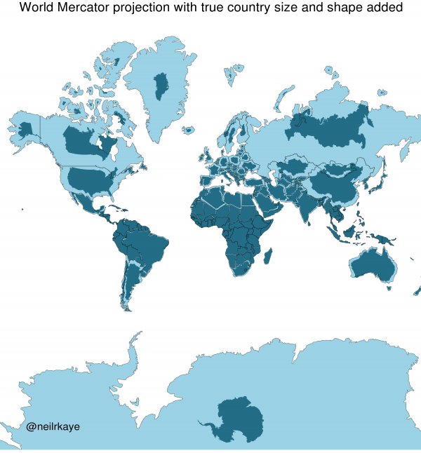
This is the Mercator Projection with the true sizes and shapes of each country/continent.