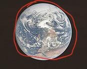
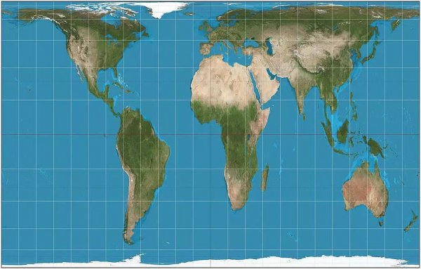
What are all of earths cities concentrated here ¿
Like
Comment
Share
What are all of earths cities concentrated here ¿


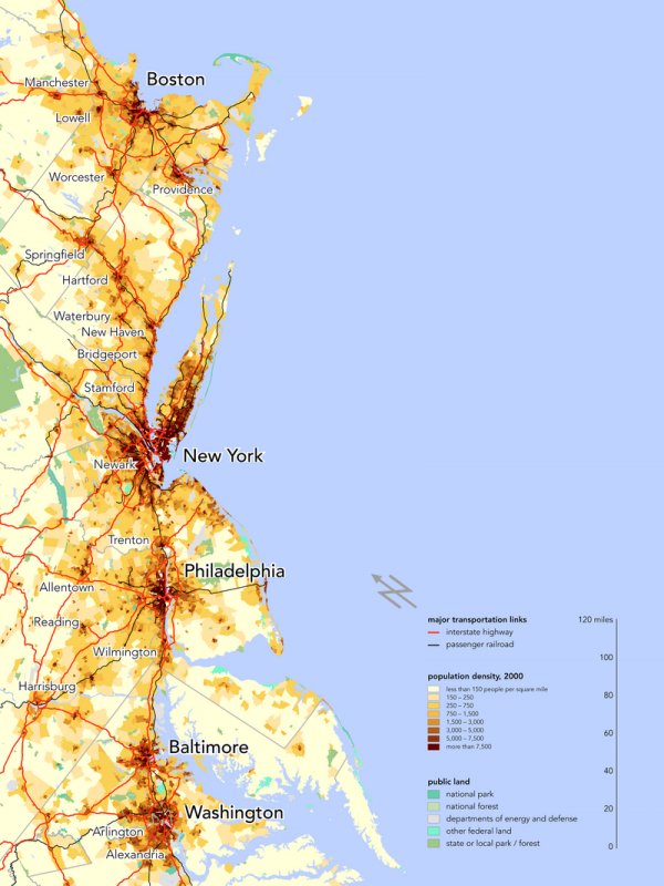
is there a reason these cities are in a straight line?
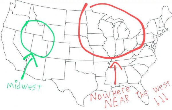
This sub seems to have a really skewed view of the Midwest: the red is the actual Midwest, the green is the part of the Great Plains that people seem to think is Midwestern
Why is this straight line so straight? is it straight?
13 years old kids discovering geopolitics be like

Why is this line in a straight line??

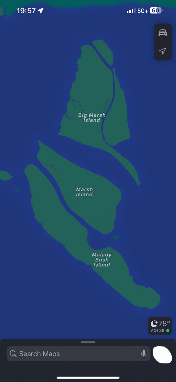
Why don’t all Reddit mods move to Mylady Bush Island? Are they stupid?
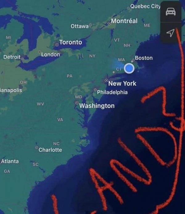
why doesn’t the USA fill the ocean with land to expand their territory? are they insufficient in intellegence?
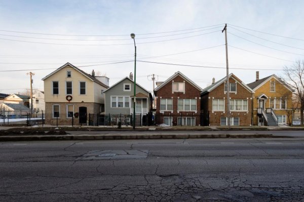
Why do all the houses in this photo seem to form a straight line?
How can africa be so big when it’s such a minor country compared to america?
This sub seems to have a really skewed view of the Midwest: the green is the actual Midwest, the red is the part of the Mideast that people seem to think is midwestern
The Midwest is the US’ cow and sand heartland, centered around the west. No part of Ohio, Michigan, or Illinois should ever be considered part of it. (Keep in mind the lines I drew are very rough and not exact boundaries though)