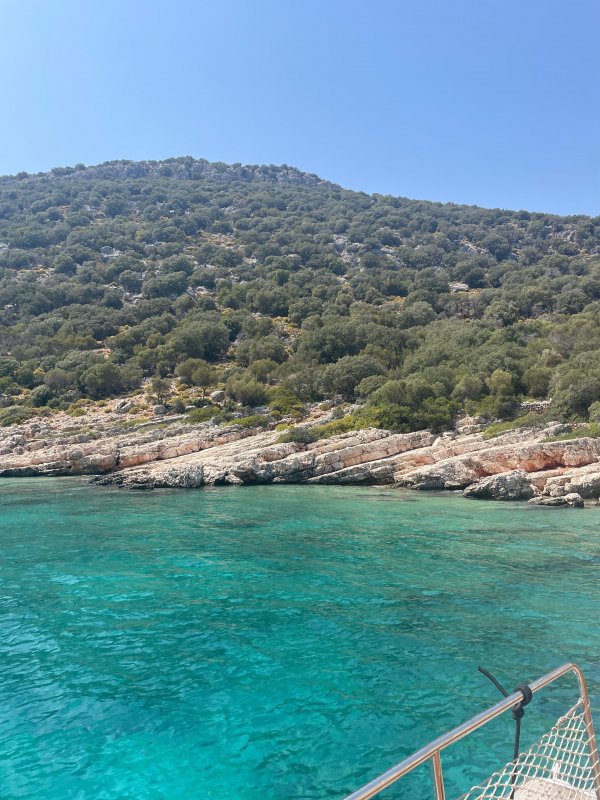
Probably the wrong sub
Please tell me where this is.
Thanks in advance.
Like
Comment
Share
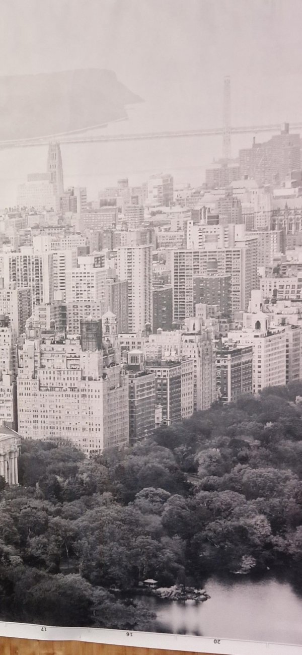
Probably the wrong sub
Please tell me where this is.
Thanks in advance.


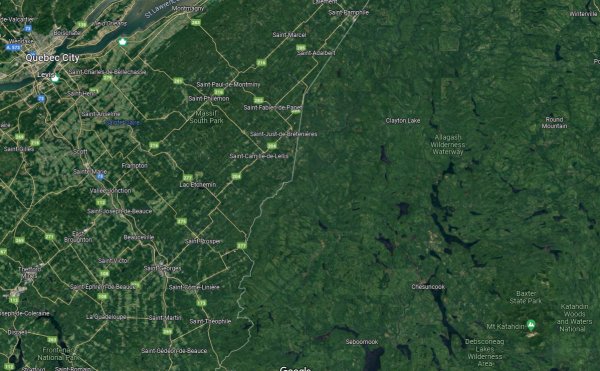
Why is the Quebec side of the border developed with farms and large towns, yet the Maine side is miles of empty wilderness?
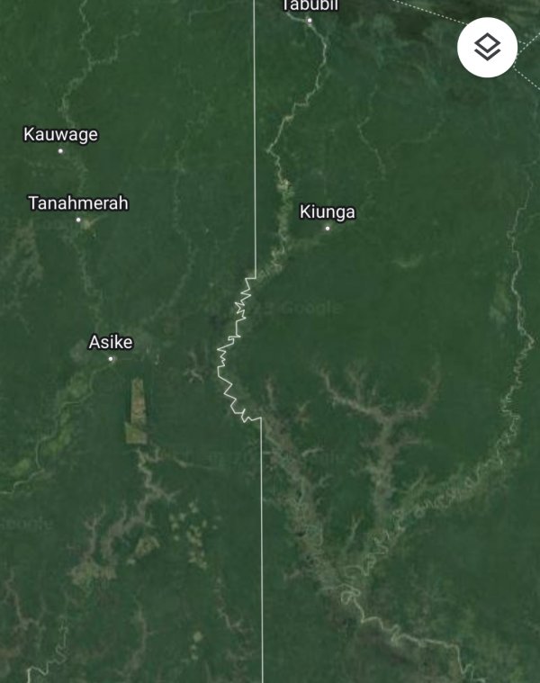
Why is this part of the Indonesia/Papua New Guinea border not straight?
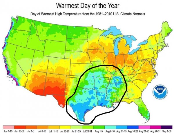
What is this part of the US called and why is it so hot?
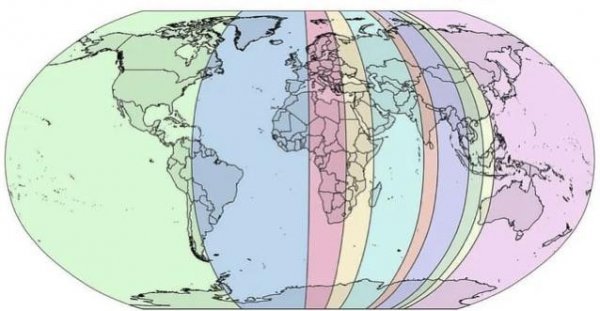
Each slice of this map had an estimated 10% of the world population, but considering growth since this was made, the orange slice is likely more populated than the Westernmost.
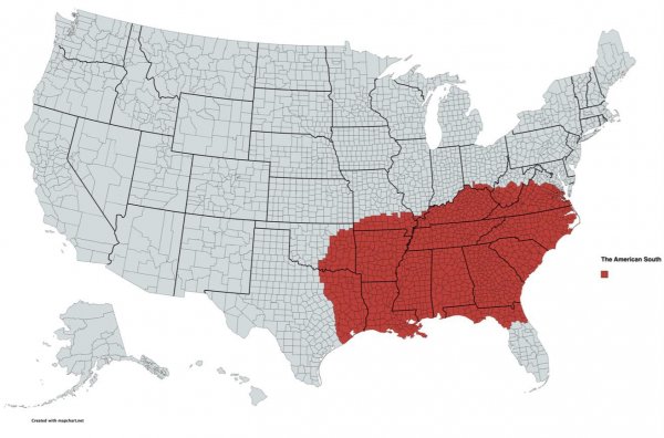
My interpretation of the American South
Which country do you think is perfectly sized geographically and in area? I'll start with one:
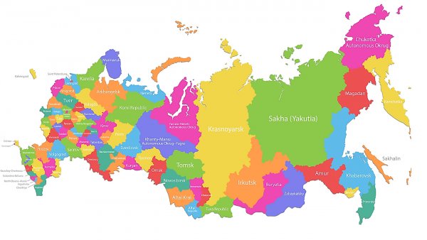
Every comment changes this map of russia, day 1
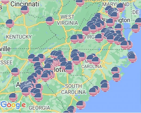
It's very clear where I've spent most of my life
Why does deception island near antarctica have such a straight eastern coast?
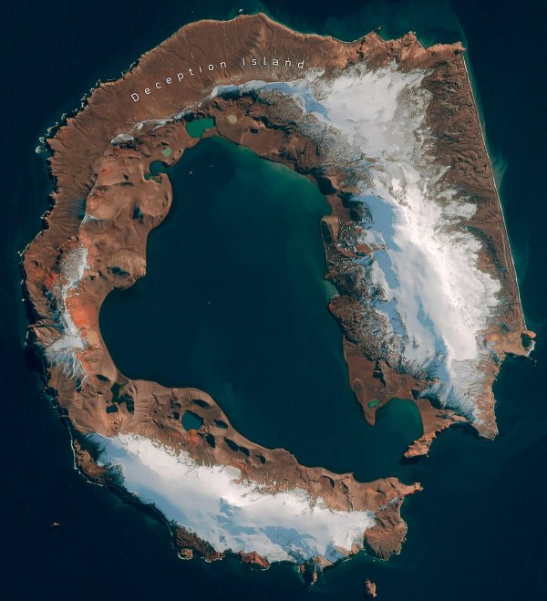
Please explain why the rock formation is at an angle?
Did tectonic movements cause one side to sink?