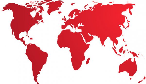
Map of Africa if it were colonized by Europe
Like
Comment
Share
Map of Africa if it were colonized by Europe


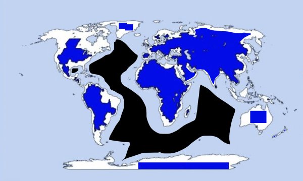
Proof that the world is flat
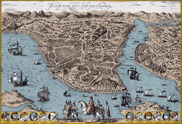
Map of Constantinople, 1570-90s (modern Istanbul, Turkey)
Countries
Bordering the Mississippi River is the only prerequisite to be a battleground state

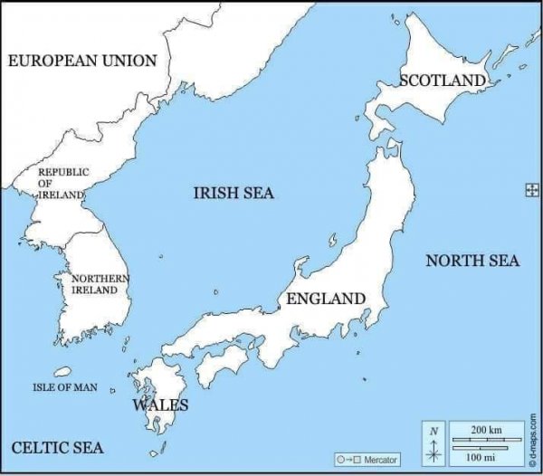
Completely Normal Map Of The UK And Surronding Areas (found online)
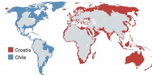
Croatia & Chile Empires ðŸ‡ðŸ‡·ðŸ‡¨ðŸ‡±
Guess Where I'm From Based On My Opinion on the World!
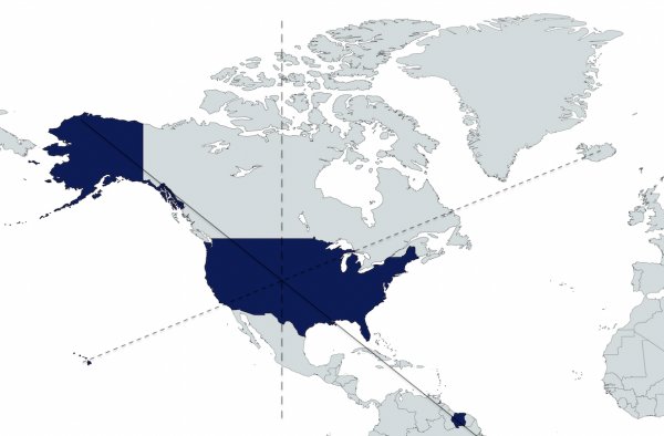
Does the US not realize it would be the 2nd biggest country in the world if it just annexed Suriname? We would also have this cool diagonal thing going on and then we could make it like an x shape if we took iceland too oh and it would be like a pizza kind of deal if we took Canada and Mexico and if
Bosnian and Nauruvian empires at their greatest extent, cerca 1279 AD 🇧🇦 🇳🇷
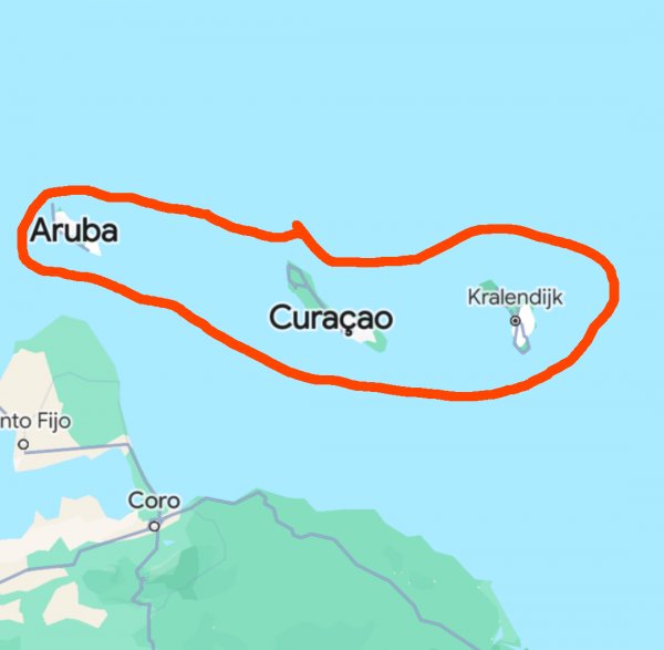
Why don't they build dikes and polders here so the islands can touch, it's in their blood(🇳🇱)?