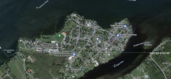
An inverse Point Roberts. It doesn't actually matter though because it's a Mohawk territory. Many houses intersect the border and the city council is actually below the 45th parallel

image
Read also:

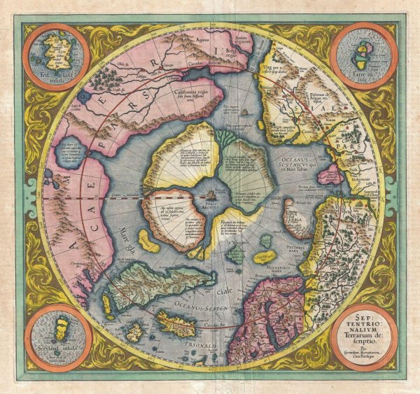
Septentrionalium Terrarum. Gerhard Mercator , 1512-1594

A map of the North Pole. Do you think that it actually looks like this? Is this mountain in the middle of the NP the reason why compases point toward the North? What do you think the weather is like if the NP looks like this in real life?
image

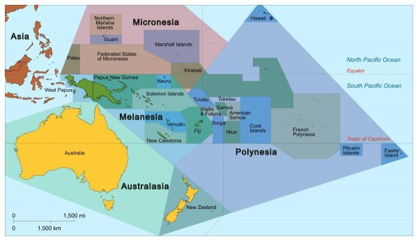
Oceania geography facts?

image

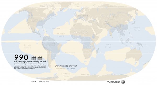
The world divided in two. On which side are you ? Dry or wet. Beige or Blue ? [OC] ☔️

image

The Australian embassy leaves after being expelled by the Sealand government

image

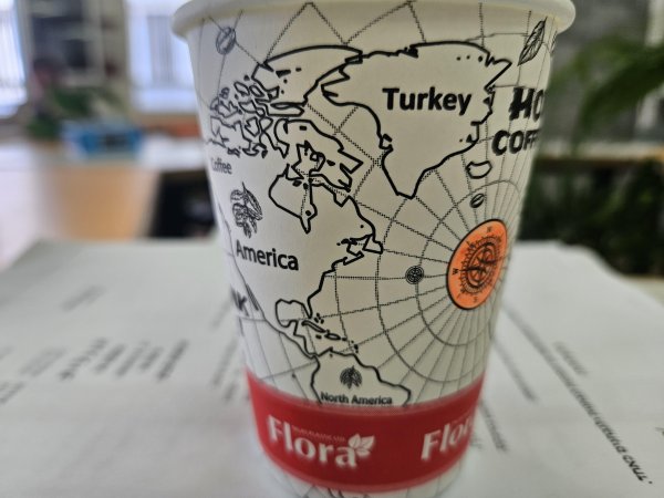
I noticed this on my coffee cup. Kinda sad.

image

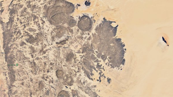
What created these near circular pillars in the desert in northern Niger?

image

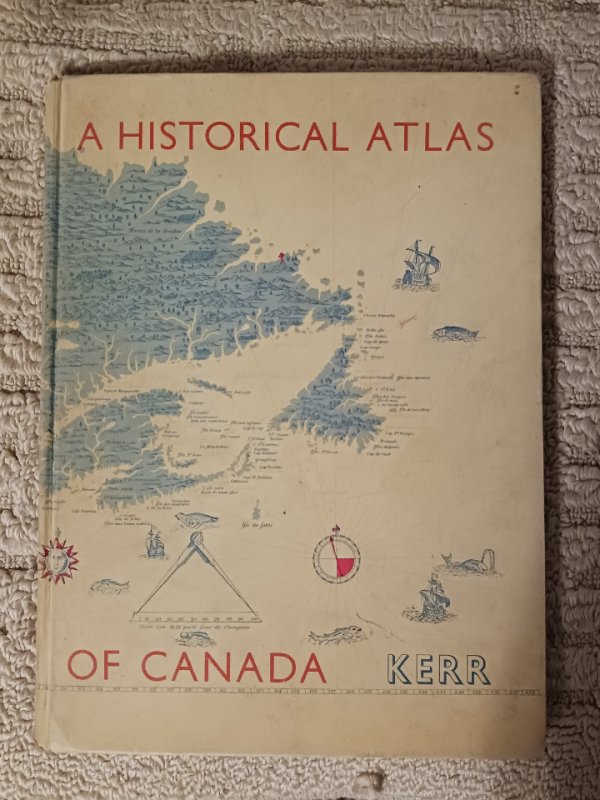
I grew up reading Atlases, my first book I remember reading as a kid were Atlas books, just the images of maps really opened my eyes.

image

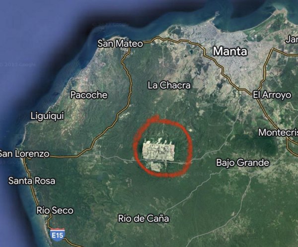
What is this massive rectangular area near Manta, Ecuador?

I wasn’t able to find any information about this online. It seems to be a completely barren desert with several roads running in and around the area.

image

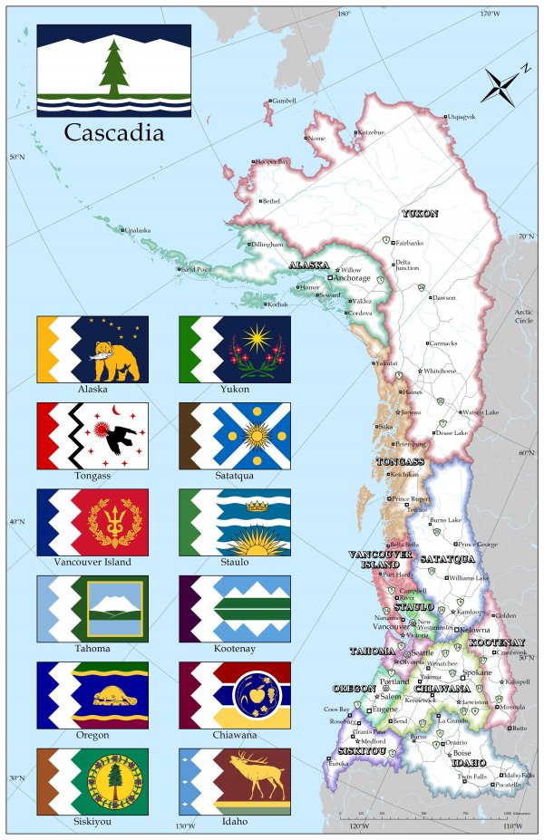
I scrapped all the borders in the greater Pacific Northwest region of North America and drew new ones (mostly) along mountain chains. Thoughts?

I’m a born and raised Pacific Northwesterner who has traveled fairly widely around the region, and the borders here have always seemed to me to clash with the natural lay of the land. Zoomable version of the map with additional information: https://www.google.com/maps/d/viewer?mid=1lrONCd4iTR6qFvfhlyttbTTdJlUrrWuO&ll=58.95904975559191%2C-148.78202850000002&z=2
image

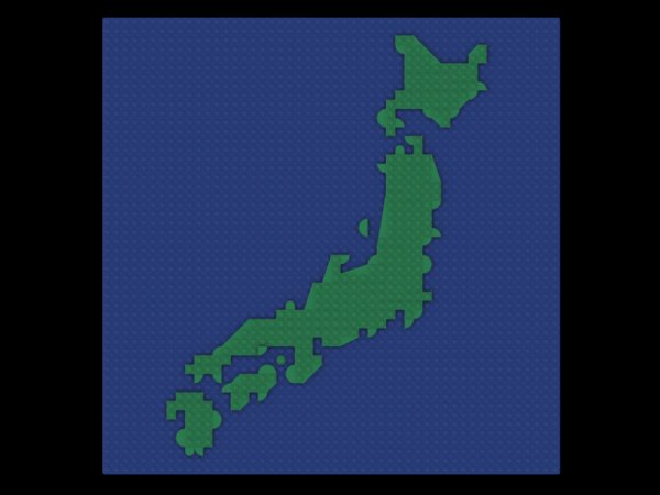
Rate my Lego map of Japan

image