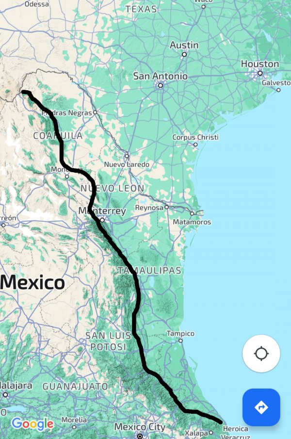
Mexican-American border
Hey everyone, I just wanted to ask a brief question; why was the Mexican-American border set at the Rio Grande river rather than the Sierra Madre Occidental Mountains??
For context, I am currently in a university course studying the history of the Civil War and in our last discussion we were talking about how the Mexican American war was a another big event that further divided and drove up tensions between southern and northern states. (The tensions and cultural differences were already there pretty much since the beginning of British colonization) because there was debate on where the southern border should be. Southerners wanted access to more land that suitable for mass agriculture to expand slavery into new states obviously the Northerners disagreed. (Both were hesitant to allow non-white Hispanic majority regions into the country mind you and the south planned to just basically gentrify these places)
Natural geographic boundaries have profound skill at being political boundaries as well. We talked about, in this same class, how physical geography influenced which southern states seceded and which did not because in some places, because of physical geography, slavery was nearly non-existent. Could a border set at the Sierra Madre Occidental served as a middle ground between Northern and Southern wants and needs at the time?? I imagine more arid regions
Ultimately this is a question, but if it is more appropriate as a discussion post, apologies to the mods